The National Weather Service has issued a flood watch beginning Saturday evening, and a winter storm watch beginning Sunday evening for the Sacramento Region, including the Eldorado National Forest. The amount of precipitation expected creates a risk of debris flows, flooding and rockfall especially in steep canyons within the Caldor Fire area.
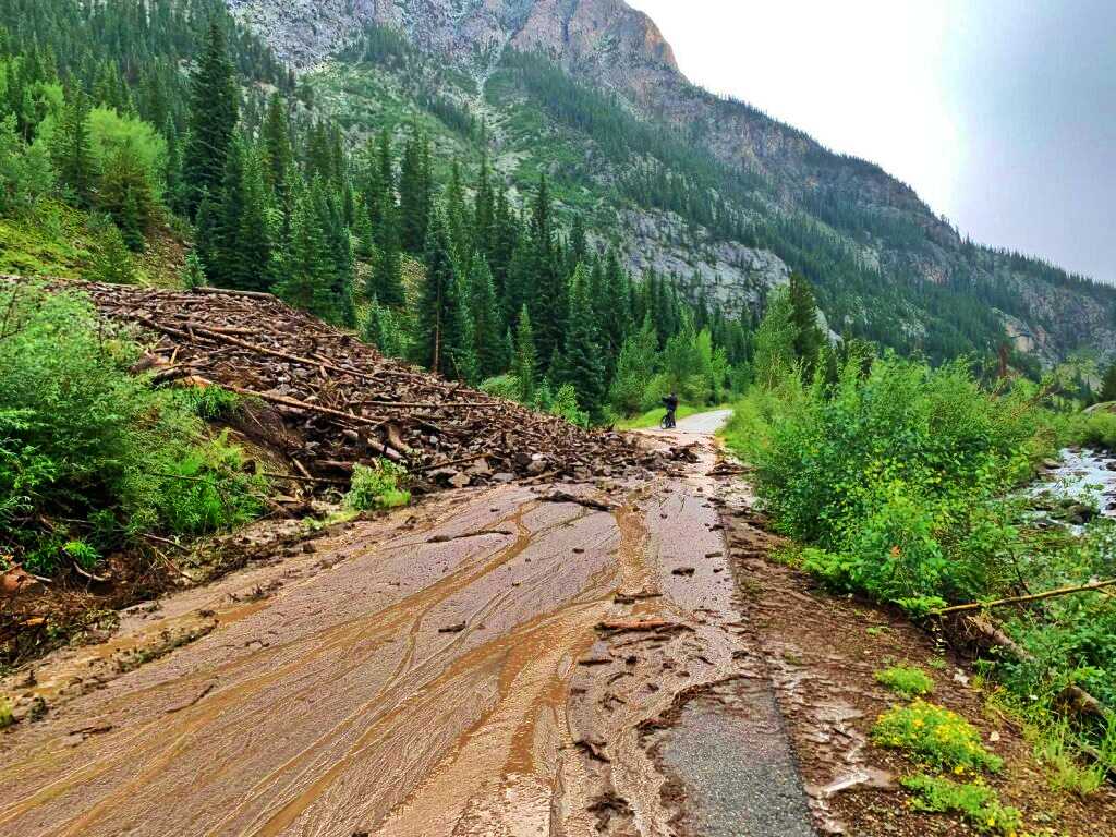
Movement of soil and rocks is a response to an intense rain event like the storm predicted for this weekend and can be destructive. Debris flows can occur suddenly and cause damage to structures or threaten the safety of people nearby. Flooding is expected along streams and rivers. Structures near waterways, bridges, culverts, and low water stream crossings are especially prone to flooding.
Debris flows, flooding and rockfall can occur without warning. If you are in the foothills and mountains, avoid steep slopes, and drainages especially in the Caldor Fire area, but also any where else affected by the storm.
Many Burned Area Emergency Response (BAER) treatments have been completed in the Caldor Fire area over the last several weeks to mitigate erosion, protect infrastructure and increase safety. These treatments will have localized effects, but can not prevent a storm of this magnitude from having impacts.
Again, please be aware that both burned and unburned areas of the forest are at risk from the storm.
Visitors are encouraged to avoid unnecessary travel and to monitor the National Weather Service website for updates on the storm: https://www.weather.gov/sto/.